Explore the most iconic and most searched hiking trails across British Columbia and Alberta. From Johnston Canyon and Ha Ling Peak to Joffre Lakes and Garibaldi Lake, this guide highlights the top routes for every type of hiker.
Top Hiking Trails in Alberta
Alberta is famous for its turquoise lakes, dramatic rock formations, and accessible yet stunning mountain trails. These are the most searched and most iconic hikes in the province.
Johnston Canyon, Alberta
1. The Lower Falls (The Easy Walk)
-
-
Distance: 1.1 km (0.7 miles) one way.
-
Time: 30–45 minutes.
-
Terrain: Mostly flat, paved, and includes the famous catwalks.
-
Highlight: The Cave.
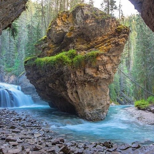
There is a small natural cave you can walk through to get a “front-row seat” (and a bit of mist!) of the Lower Falls.
2. The Upper Falls (The Iconic View)
-
Distance: 2.6 km (1.6 miles) one way.
-
Time: 1 to 1.5 hours.
-
Elevation Gain: 120 meters (moderate incline).
-
Highlight: There are two viewpoints here. One at the bottom of the falls and a steeper one that takes you to the top of the falls, where you can look straight down the 30-meter drop!
-
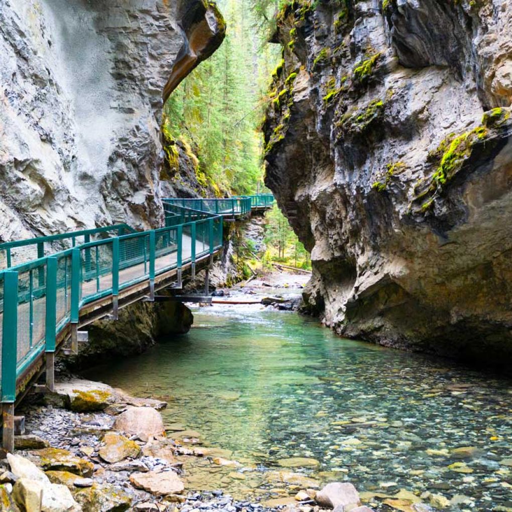
One of Alberta’s most popular hikes, Johnston Canyon features waterfalls, narrow canyon walls, and metal catwalks carved into the rock.
Perfect for families, beginners, and anyone wanting a scenic hike without a long climb.
Why it’s famous:
- Easy, accessible trail
- Upper and Lower Falls viewpoints
- Beautiful year-round (frozen waterfalls in winter)
Canmore Grassi Lakes
Hiking Guide: Grassi Lakes, Canmore
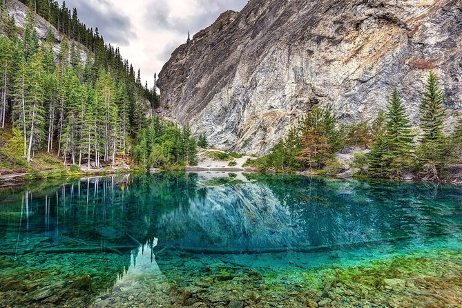
Grassi Lakes is the perfect hike for families, beginners, or anyone looking for those famous crystal-clear turquoise waters without a grueling 6-hour trek.
A classic Alberta trail, Grassi Lakes offers crystal-clear blue-green water, mountain views, and two path options: easy and more difficult.
Highlights:
- Short, rewarding hike
- Ideal for photos
- Great for beginners and families
📊 Quick Facts
-
Distance: ~4.3 km (2.7 miles) round trip. 🚶♂️
-
Difficulty: Easy to Moderate (depending on the trail chosen).
-
Elevation Gain: ~230 meters (750 feet). 📈
-
Time: 1.5 to 2 hours. ⏱️
-
Pet Friendly: Yes, but they must be on a leash! 🐾
Ha Ling Peak, Alberta
Hike at a Glance
-
Distance: ~7.8 km (4.8 miles) round trip.
-
Elevation Gain: ~810 meters (2,657 feet).
-
Difficulty: Hard (mostly due to the steep, steady incline).
-
Time: 3.5 to 5 hours.
-
Trailhead: Located at the Goat Creek Parking Lot on the Smith-Dorrien Trail (Hwy 742).
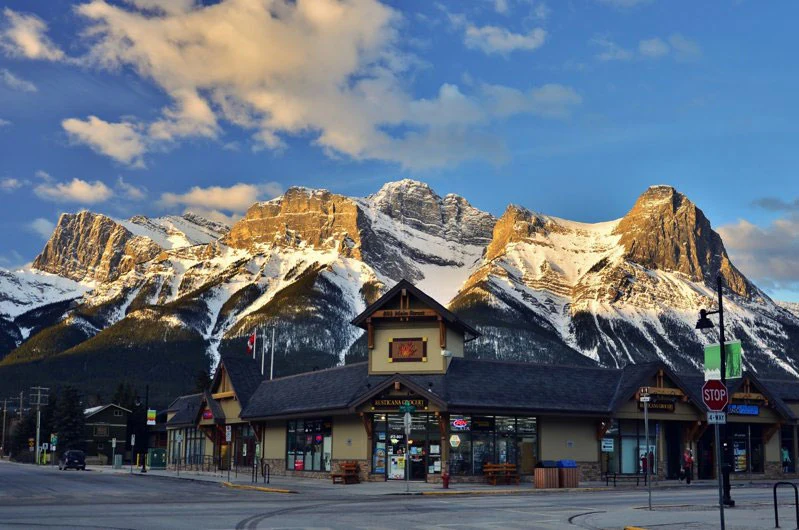
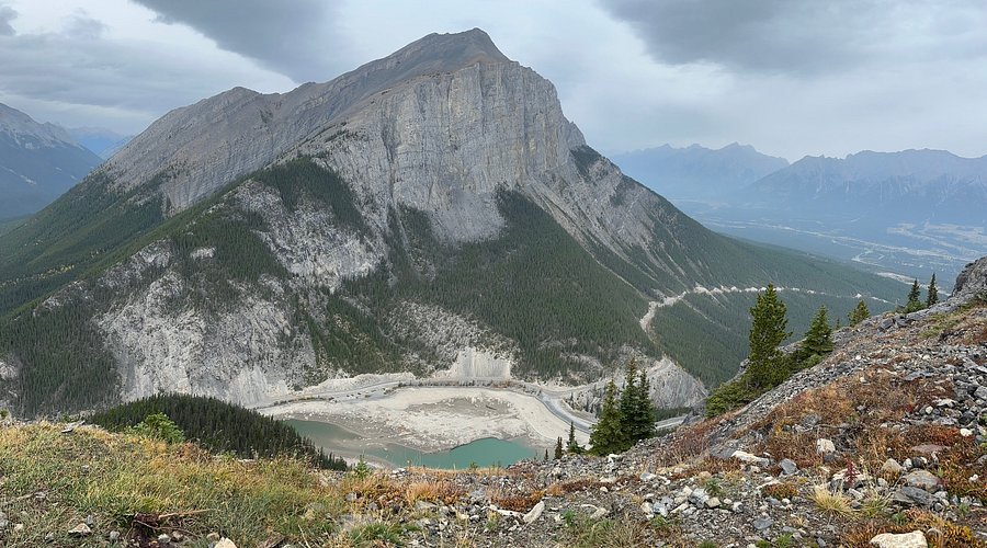
For those wanting a steeper challenge, Ha Ling Peak is one of the top hikes in Canmore, providing breathtaking views over the Bow Valley.
What to expect:
- Steep ascent
- Unreal summit views
- Popular with intermediate hikers and fitness-focused visitors
Best Hiking Trails in British Columbia
British Columbia offers some of the most dramatic landscapes in Canada, from alpine lakes to lush coastal forests. These BC hikes are among the most photographed and most searched in the entire country.
Joffre Lakes, British Columbia
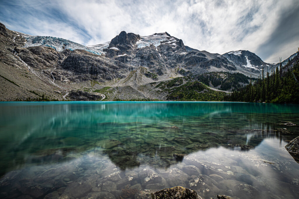
Known worldwide for its blue glacier-fed lakes, Joffre Lakes is one of BC’s most iconic hiking destinations.
Why people love it:
- Three stunning turquoise lakes
- Glacier views
- Instagram-famous scenery
- Well-maintained trail
Quarry Rock—North Vancouver
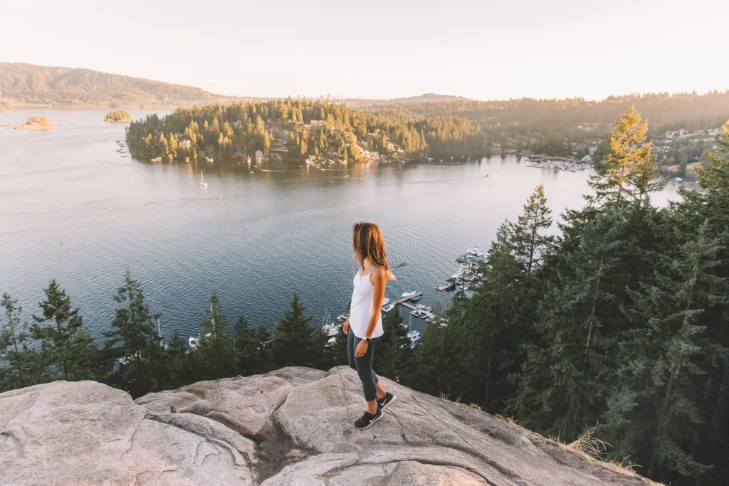
A popular and accessible coastal forest hike, Quarry Rock is located in Deep Cove and offers beautiful views of the water and mountains.
Perfect for:
- Beginners
- Locals and tourists
- Sunrise or sunset hikes
It’s a short but rewarding trail, just 25 minutes from downtown Vancouver.
-
Distance: ~3.8 km (2.4 miles) round trip.
-
Elevation Gain: ~100 meters (330 feet).
-
Difficulty: Easy to Moderate (mostly due to the stairs).
-
Time: 1.5 to 2 hours.
-
Trailhead: Located at the end of Panorama Drive in Deep Cove.
Garibaldi Lake, British Columbia
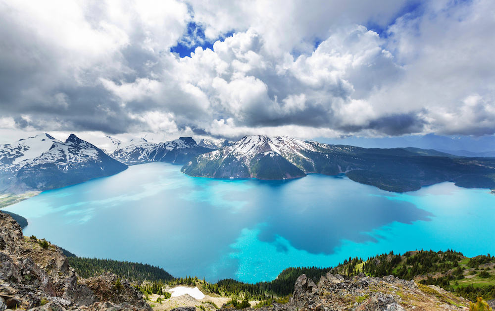
One of BC’s most stunning alpine lakes, Garibaldi Lake is famous for its bright blue water surrounded by glacier-capped mountains.
Trail features:
- Long and challenging (18 km round trip)
- Perfect for full-day hiking
- Option to connect with Panorama Ridge or Black Tusk
This is one of the most iconic hikes in the entire province.
-
Distance: 18 km (11.2 miles) round trip.
-
Elevation Gain: 820 meters (2,690 feet).
-
Difficulty: Hard (Moderate if you are an experienced hiker, but the distance is the main challenge).
-
Time: 5 to 7 hours.
-
Trailhead: Rubble Creek Parking Lot, located between Squamish and Whistler.